Surveying: A Complete Guide to Land, Building and Modern Measurement
By
Suz Pathmanathan
Key Takeaways
Surveying is the science and profession of measuring land, buildings and infrastructure so people can define legal boundaries, plan construction projects and manage assets safely.
The main branches include land surveying, building surveying, quantity surveying, residential surveyors, commercial valuation, rural practice and chartered surveyors.
Modern techniques such as gps surveying, total stations, drones, LiDAR and 3D laser scanning have transformed speed and instrument's accuracy compared with tape measures, chains and optical tools.
Regulated professionals, especially RICS chartered surveyors, protect clients through ethical rules, professional indemnity insurance, CPD and standardised reporting.
Surveying underpins the built environment lifecycle, from land boundaries and design to cost control, safety checks, retrofit and as-built records.
Introduction to Surveying
Surveying determines the three-dimensional positions of points and distances between them. In simple terms, it is the science of making reliable measurements of land, buildings, infrastructure and water bodies so decisions can be made with confidence.
You meet surveying more often than you might think. It helps a buyer understand a home, a council plan a road, a developer regenerate deprived areas, and neighbours resolve disputes over land boundaries. Surveying techniques are essential to ensure structures are built safely and legally.
The past matters too. Prehistoric surveyors used basic measurements, rope geometry and right angles to set out monuments. The egyptian pyramids show remarkable precision: the Great Pyramid of Giza was built around 2700 BC, and the great pyramid still demonstrates near perfect squareness. Roman surveyors were called ‘Gromatici’ and used the groma for measuring angles and setting out roads. Jesse Ramsden introduced the first precision theodolite in 1787, the Land Ordinance of 1785 established the Public Land Survey System, often called the public land survey system, across the western territories, and Inō Tadataka created Japan’s first modern map starting in 1800.
In today’s UK, survey work supports HS2 land referencing, housing development, flood-risk assessment and infrastructure planning. Throughout this guide, a surveyor may be a land, building, quantity or valuation specialist; chartered surveyors are accredited professionals, most often through the royal institution known as RICS.
The Main Types of Surveying
Surveying covers several scientific disciplines, each focused on a different part of the built or natural world.
Land surveying establishes property boundaries and subdivisions. Land surveyors create maps and measure boundaries of sites.
Topographic surveys record levels, features and terrain. Topographic Surveying identifies elevation changes and physical features of a site, while Topographic Surveying measures elevation and maps physical surface features.
Building surveying assesses existing buildings. Building surveyors assess safety and compliance of buildings, including building structures, defects and maintenance needs.
Quantity surveying manages money, risk and contracts. Quantity surveyors manage costs and contracts in construction projects.
Residential surveying focuses on homes. Residential surveyors appraise properties for homebuyers and help homebuyers assess property conditions.
Commercial/valuation surveying supports offices, retail, industrial property and investment decisions. Commercial surveyors advise on purchasing or leasing commercial properties.
Environmental surveying studies flood risk, contamination, ecology and sustainability. Environmental surveyors assess the environmental impact of construction.
Geodetic/geospatial surveying maps very large areas. Geodetic Surveying accounts for Earth's curvature to map massive areas.
Hydrographic Surveying maps the shoreline and underwater topography of water bodies.
These specialisms often overlap. A housing scheme may need land surveying, environmental research, building surveying, quantity surveying and valuation advice before anyone starts construction.
Land Surveying: Mapping the Ground We Build On
Land surveying is the foundation of most construction and civil engineering work. It establishes maps and boundaries for ownership, measures exact locations across horizontal and vertical planes, and records distances, levels, vertical angles and vertical planes on a site.
Typical tasks include Boundary and Cadastral Surveying establishes exact legal property lines, while Boundary Definition solves legal property disputes by locating boundary markers. Cadastral Mapping maintains public records of land ownership for taxation. Subdivision Planning divides large tracts of land into smaller residential lots.
Site Analysis provides accurate terrain data before designing structures. Construction surveying maps a site's existing conditions and framework, and construction surveys document location, elevation, and dimensions of constructed elements. Engineering Surveying directs construction placement for roads and buildings, while Infrastructure Alignment ensures highways and pipelines follow exact routes.
For example, a 2024 residential development might begin with topographic surveys that create CAD plans, digital terrain models and drainage information. Surveyors use specialized tools to mark exact locations for foundations and utilities, so all the land owners, designers and contractors understand what can be built and where.
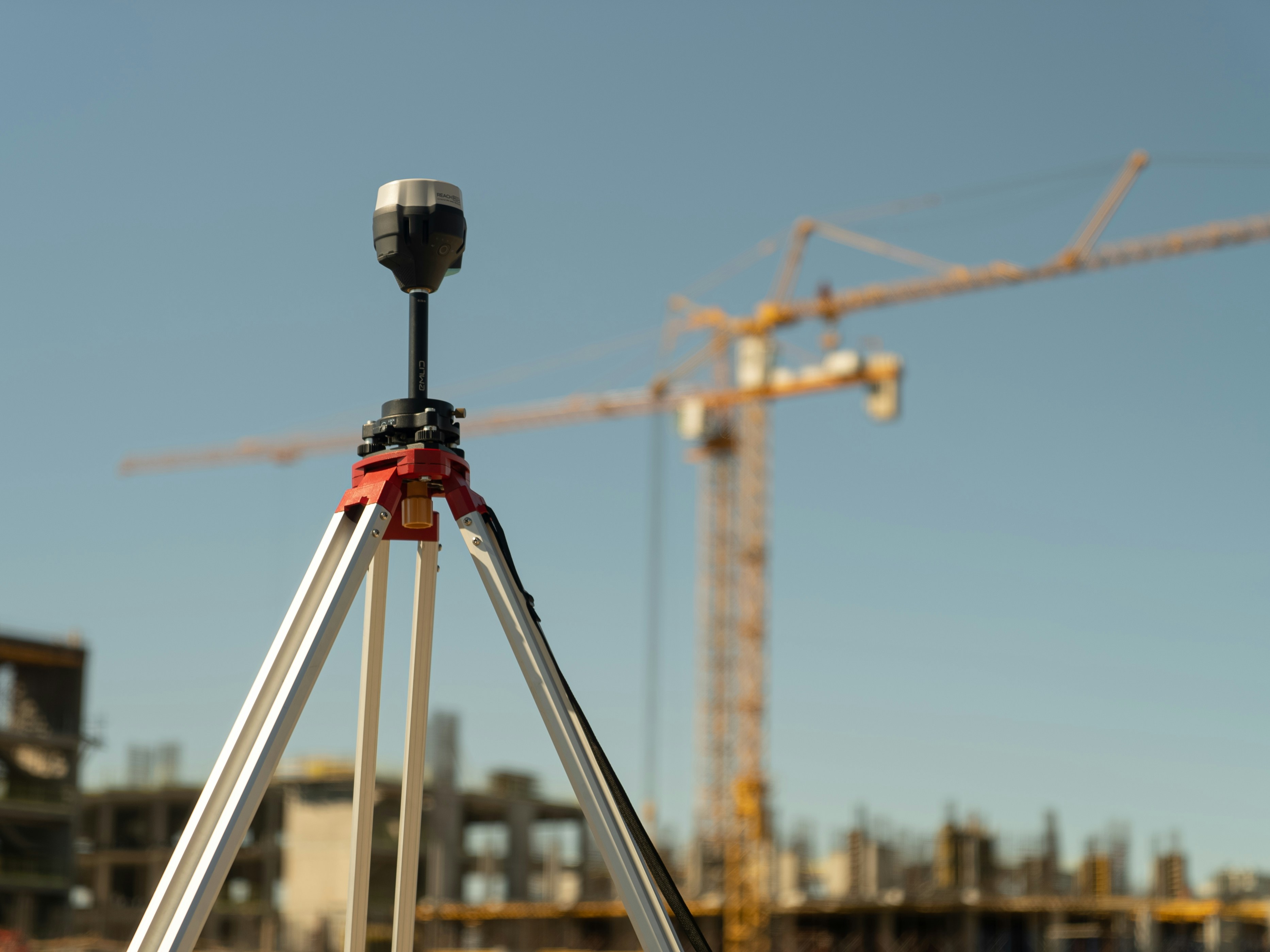
Common surveying instruments include total stations, GNSS receivers, digital levels, laser levels, drones and 3D scanners. Total stations combine electronic distance measurement and angle measurement. GNSS and RTK GPS deliver immediate coordinate mapping for boundary definitions. GPS measures elevation with satellite receivers, and gps surveying is now routine in open areas.
Traditional tools still matter. Tape measures remain useful for checks, but modern surveying combines traditional principles with advanced hardware. Levelling measures horizontal and vertical differences relative to a reference point. Triangulation determines distances and directions between distant objects, and measuring distant objects remains central to accurate mapping over long distances.
Other land services include Control Surveying sets up precise baseline reference points across a job site, Volume Calculation measures stockpiles and excavation depths accurately, and As-Built Surveying documents the location and dimensions of structures after construction. As-Built Surveys verify that finished constructions match original design plans.

Building Surveying and Residential Surveyors
Building surveying is different from land surveying. Land surveyors measure the site; a building surveyor investigates the condition, safety, performance and compliance of buildings. On real projects, their data is often combined before design, refurbishment or sale.
Building surveyors assess damp, structural movement, roofs, fire safety, cladding, accessibility and building regulations. They also provide advice on planned maintenance, repair priorities, retrofit and the Building Safety Act 2022. Ground Penetrating Radar maps the precise location of buried pipes and cables, which is especially useful before opening floors, roads or walls.
Residential surveyors specialise in residential properties. The UK has 29 million residential properties, and residential properties in the UK are valued over £9.1 trillion, so small defects can carry large financial consequences. Residential surveyors provide expert valuations for mortgage lenders, help homebuyers assess property conditions, manage transactions and negotiate with stakeholders.
In practice, a buyer in 2026 may instruct residential surveyors for a RICS Home Survey Level 2 or Level 3 before exchange. A Level 3 report is often sensible for older, altered, listed or unusual homes, especially where subsidence, non-compliant cladding, roof failure or poor insulation may affect cost and mortgageability. The RICS Home Survey Standard sets expectations for condition-based residential reports.
Building surveying also supports climate change adaptation. Surveyors help owners improve insulation, ventilation, heat-pump readiness and energy performance across existing buildings, schools, hospitals and housing estates.
Quantity Surveying: Managing Construction Costs
Quantity surveying is the financial and contractual arm of surveying. It helps clients deliver projects on time, within budget and to the required quality rather than simply spending less.
Quantity surveyors prepare cost plans, bills of quantities, tender documents, valuations, interim payments and final accounts. They administer contracts such as NEC or JCT forms and track variations, risk allowances, inflation and supply-chain pressure.
For example, on a £50m mixed-use scheme between 2023 and 2026, a quantity surveyor may test whether a design change is affordable, assess contractor claims and advise when a higher-cost material will reduce whole-life maintenance. This is where knowledge, data and negotiation meet.
Modern quantity surveying uses BIM-linked measurement, digital take-off tools, live cost databases and project dashboards. The role is closely connected to architects, engineers, project managers, building surveyors and clients who need clear commercial decisions.
Chartered Surveyors and Professional Standards
Chartered surveyors are professionals who have achieved chartered status with a recognised body, usually the Royal Institution of Chartered Surveyors. The route normally involves an accredited degree or conversion route, structured experience, logbooks and the APC final assessment.
Chartered surveyors work across land surveying, building surveying, residential valuation, quantity surveying, commercial management, rural estates and environmental services. Their value comes from standards: ethics, professional indemnity insurance, continuing professional development and consistent reporting.
A client may specifically need a chartered surveyor for a formal valuation under the RICS Valuation Global Standards, known as the Red Book, for lending, tax, accounts or legal purposes. Other bodies include CICES for engineering surveying, CABE for building engineering, and FIG internationally, but RICS remains central to the UK surveying profession.
Modern Techniques and Technology in Surveying
Surveying has changed quickly since 2000. Modern techniques now produce richer data faster, with fewer site visits and better quality control.
Key tools include robotic total stations, gps surveying, GNSS, drone photogrammetry, LiDAR, mobile mapping, terrestrial laser scanning and reality capture for BIM. Drones are used to map land and measure buildings. Drones photograph inaccessible zones to output scaled 3D terrain maps. LiDAR captures highly detailed digital representations of physical environments.
3D Laser Scanning captures complex configurations as a massive 3D point cloud, making it valuable for heritage buildings, stadiums, bridges and plant rooms. Survey data is now delivered as point clouds, Revit-ready models, GIS files, digital terrain models and interactive web maps rather than only flat drawings.
Technology also helps with risk. Precise measurements track shifts in structures over time to ensure integrity. Coastal Erosion Tracking monitors changing shorelines over time. Sensors can monitor people moving, traffic flowing and water running through infrastructure networks, feeding digital twins for cities and transport systems.
There are limits. Dense tree cover, reflective surfaces, GPS-denied streets and poor control points can reduce accuracy. Good surveyors specify tolerances, test the instrument's accuracy and use regular intervals of checks so the final map or model is reliable.

Surveying Careers, Training and Routes into the Profession
Surveying is a stable career with demand across private firms, consultancies, local government, infrastructure bodies and global organisations. UK forecasts suggest the construction workforce will keep needing more surveyors by 2029 as housing, maintenance, retrofit and infrastructure workloads grow.
Routes into the profession include RICS-accredited degrees, apprenticeships, part-time study, distance learning and conversion courses for people from construction, civil engineering, architecture, geography, finance or data backgrounds. The APC journey to chartered status involves practical experience, written records and a final interview.
Progression can run from graduate surveyor to senior, associate, director or partner. Some specialists move into expert witness work, dispute resolution, sustainability, valuation, geospatial analysis or major project controls.
The strongest candidates combine technical competence with communication. In 2026, employers want people who can handle data, use technology, understand climate change, explain risk clearly and work with clients under pressure.

FAQs
What is the difference between a land survey and a building survey?
A land survey measures physical land, including boundaries, levels, features and control points, to create a map or set out construction work. A building survey assesses an existing building’s structure, services, defects and compliance. Land surveys are usually used before or during development, while building surveys are common when buying, refurbishing or maintaining property.
When should I hire a residential surveyor when buying a home?
In England and Wales, instruct a residential surveyor as soon as your offer is accepted and before exchanging contracts. A survey can reveal damp, structural movement, roof problems, non-standard construction or alteration issues. Older, listed or unusual homes often justify a detailed Level 3 survey rather than a basic valuation.
How accurate are modern land surveys using GPS and total stations?
For typical construction and boundary work, modern equipment can achieve centimetre-level accuracy when correctly set up and referenced. A surveyor designs the work to a tolerance, such as ±10 mm for building set-out where required. Professional checks, redundancy and quality-control procedures help find and reduce errors.
Is quantity surveying only about cutting costs on projects?
No. Quantity surveying is about value, control and informed decisions. A quantity surveyor may recommend a more durable material, price risk for difficult ground conditions or manage claims fairly. The aim is to balance cost, quality and time.
Can I retrain as a surveyor later in my career?
Yes. Many people enter surveying from construction, engineering, real estate, finance or unrelated sectors. Flexible routes include apprenticeships, online learning, part-time degrees and residential surveying diplomas. Start by choosing the specialism that matches your interests, then check the accredited pathway for that role.