The Ground Is Sinking. Are We Watching Closely Enough?
By
Suz Pathmanathan
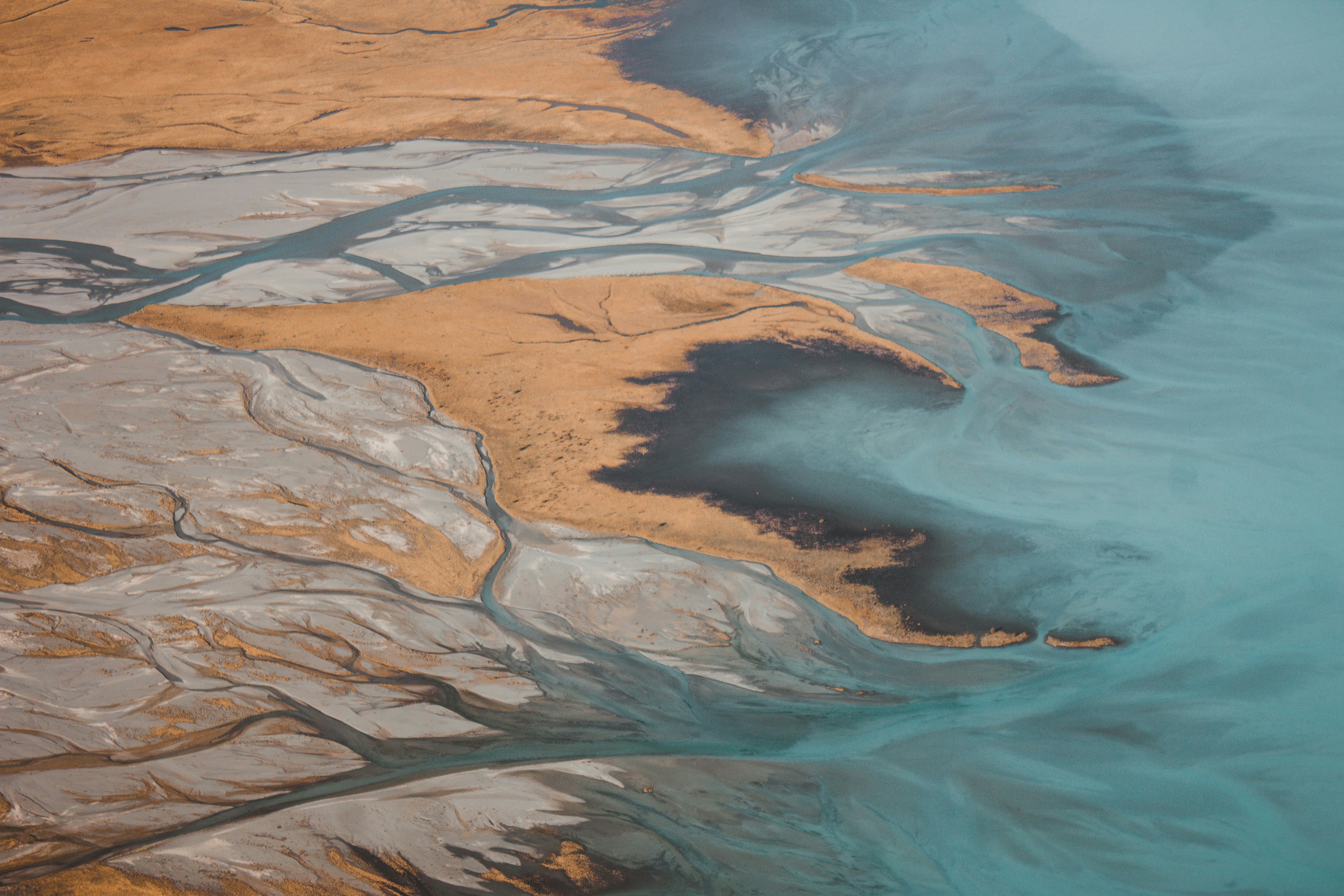
A decade of satellite data has just confirmed what many engineers have suspected for years: the ground beneath some of the world's most densely populated cities is sinking faster than the sea is rising and in many cases, faster than even the most pessimistic climate projections suggest it will rise by the end of the century.
Research published in Nature in January 2026, drawing on Sentinel-1 radar observations from 2014 to 2023, presents the most comprehensive analysis of river delta subsidence ever conducted. The study analysed surface elevation changes across 40 major deltas worldwide, spanning five continents and 29 countries. The findings are stark.
The numbers are harder to ignore than the headlines suggest
More than half of the 40 deltas studied are subsiding at rates exceeding 3mm per year. In 13 of them, including the Nile, Po, Chao Phraya, Mekong, and Yellow River, average subsidence rates already exceed the current global rate of sea-level rise of approximately 4mm per year. In the Chao Phraya, Brantas, and Yellow River deltas, land is sinking at more than twice that rate.
In 18 of the 40 deltas, land subsidence already outpaces geocentric sea-level rise as the dominant driver of relative sea-level rise. That figure rises sharply when you look specifically at the most vulnerable populations. Of the 76 million people living in delta areas below one metre of elevation, 84%, nearly 64 million people, reside in areas that are actively and rapidly sinking.
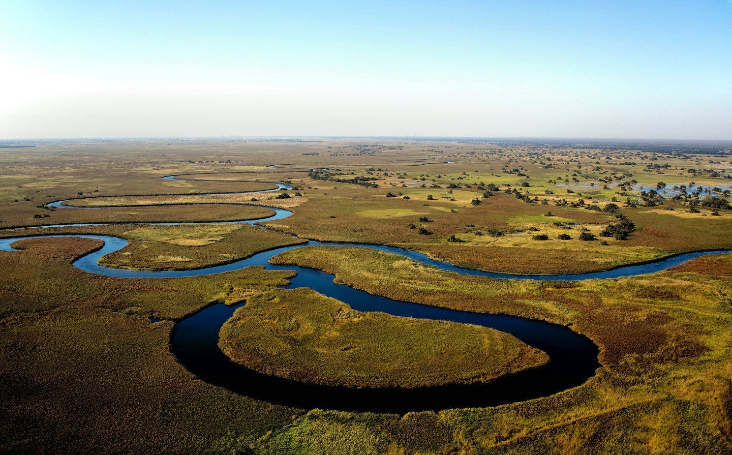
The scale is extraordinary. Approximately 460,000 square kilometres of delta land is exposed to subsidence. Seven deltas alone, the Ganges-Brahmaputra, Nile, Mekong, Yangtze, Amazon, Irrawaddy, and Mississippi, account for more than half of that total, covering a combined subsiding area of 265,000 square kilometres.
The causes are not mysterious. Groundwater extraction is identified as the dominant anthropogenic driver across the deltas studied. Sediment flux reduction, caused by upstream dams and land-use change, and urban expansion compound the problem. In deltas like the Chao Phraya and Yellow River, all three drivers are operating simultaneously, creating what the researchers describe as a compound hazard in which relative sea-level rise is dominated not by climate-driven changes in sea surface height, but by the land itself going down.
A risk hiding in plain sight
River deltas account for less than 1% of Earth's land surface. They are home to an estimated 350 to 500 million people, including 10 of the world's 34 megacities. Cities including Shanghai, Bangkok, Kolkata, Alexandria, Ho Chi Minh City, Jakarta, and New Orleans are all built on delta land, typically just one or two metres above sea level.
The research team, led by Leonard Ohenhen of the University of California Irvine, found that current maximum subsidence rates in all 40 deltas already exceed projected sea-level rise rates through 2100, even under moderate emissions scenarios. Under worst-case projections, subsidence still dominates in 38 of the 40 deltas when maximum rates are considered.
Perhaps most striking is the adaptive capacity gap. The study mapped deltas against a framework combining relative sea-level rise rates and national adaptation readiness scores. Sixty-five percent of the deltas - 26 of 40 - fall into what the researchers categorise as "Unprepared Divers": high relative sea-level rise, low adaptive capacity, predominantly in low- and middle-income nations. Only two deltas in the entire dataset, the Fraser in Canada and the Rioni in Georgia, currently sit in the "Safe Havens" quadrant of low relative sea-level rise and high adaptive capacity.
Seeing the problem is not the same as solving it
Space-based monitoring is a remarkable tool. Synthetic aperture radar can detect millimetre-scale changes in land surface elevation across entire river systems from orbit. The Sentinel-1 mission, processing over 59,000 interferograms across these 40 deltas at 75-metre resolution, has demonstrated that capacity clearly.
But there is a fundamental gap between understanding that a delta is sinking at a regional scale and understanding what that means for a specific flood barrier, embankment, quayside, or levee.
That gap is where engineers work. And it is where the limitations of satellite-only or periodic monitoring become most consequential.
A delta subsiding at 5mm per year is a planning problem. A flood barrier that has moved 12mm in the last 72 hours, during a period of heavy rainfall and elevated river flow, is an operational emergency. The difference between those two situations is not the satellite. It is the ground-level monitoring infrastructure that exists, or doesn't, to detect and respond to localised, real-time structural behaviour.
The monitoring infrastructure hasn't kept pace
For decades, the standard approach to monitoring embankments, flood defences, and delta infrastructure has relied on periodic manual survey visits, automated total stations requiring specialist maintenance, and data collection cycles designed around what was logistically feasible rather than what the engineering actually demanded.
That approach made sense when continuous monitoring was prohibitively expensive or technically impractical. It makes less sense now, particularly when the assets most at risk in subsiding delta environments are often exactly the ones where traditional monitoring is hardest to sustain.
Remote locations. Access-restricted sites. Infrastructure that needs to be watched continuously, not periodically, because the behaviour that matters most often happens between visits. Flood embankments don't fail on a schedule. Quaysides don't wait for the next survey window.
The research is also clear that the spatial heterogeneity of subsidence within individual deltas makes blanket assessments insufficient. Even within a single delta, localised zones can be sinking at rates dramatically higher than the average. The Yellow River and Chao Phraya deltas, for example, show areas where 90% or more of the delta is subsiding, with pockets of extreme localised elevation loss. That level of variation demands asset-level monitoring, not just regional observation.
What continuous monitoring makes possible
The case for continuous, autonomous deformation monitoring on critical delta infrastructure is not complicated.
It means knowing, in near-real time, whether a structure is behaving as expected or not. It means setting thresholds and receiving alerts before a situation becomes a crisis. It means reducing the frequency of physical site visits without reducing, in fact, while dramatically increasing, the quality and continuity of the data.

The technology to do this exists. Compact optical sensors that install in under an hour, operate on battery or solar power for months without intervention, and transmit displacement data continuously to cloud platforms where engineers can monitor, alert, and respond. Systems that can go where total stations cannot, stay where people should not have to, and keep watching long after the site visit budget has been exhausted.
This is not a theoretical proposition. Systems like this have already been validated in some of the most demanding monitoring environments in Europe, underground nuclear repositories, live infrastructure corridors, extreme weather deployments, demonstrating that engineering-grade accuracy and operational autonomy are not in conflict.
The window is narrowing
The Nature study identifies something important beyond environmental science: subsidence, unlike sea-level rise, is theoretically stoppable. Groundwater regulation, managed aquifer recharge, sediment management, these are interventions that can slow or halt human-induced subsidence on policy timescales. Sea-level rise cannot be reversed on any timescale relevant to the people living on delta land today.
That tractability is, paradoxically, part of why subsidence has been deprioritised in global coastal risk discourse. The researchers note explicitly that its responsiveness to human action has relegated it to the periphery of international policy, a disconnect that the data no longer supports.
For the engineers responsible for the flood barriers, embankments, quaysides, and levees that stand between sinking delta land and the communities built on it, the question is not whether continuous monitoring matters. The question is whether it is in place before the behaviour that demands it occurs.
With 236 million people living in deltas where subsidence already outpaces sea-level rise, and 64 million of those living below one metre of elevation in actively sinking areas, the answer to that question carries consequences that extend well beyond engineering.
TotaLite develops compact, image-based sensing systems for continuous, remote structural deformation monitoring. The sensor delivers sub-millimetre displacement data in near-real time, with no site visits required. Learn more at totalite.io.